
Day 19 CCR: Sunshine and Scenery Along Lake Superior
For the second day in a row sunshine graced us and scenery courtesy of a Great Lake was gorgeous. I could get used to this riding environment, but I already know there’s a pretty good chance for rain during at least part of the ride tomorrow. Oh well, after enduring so many rainy days the past two weeks, I’m thankful for what sunshine I can get.
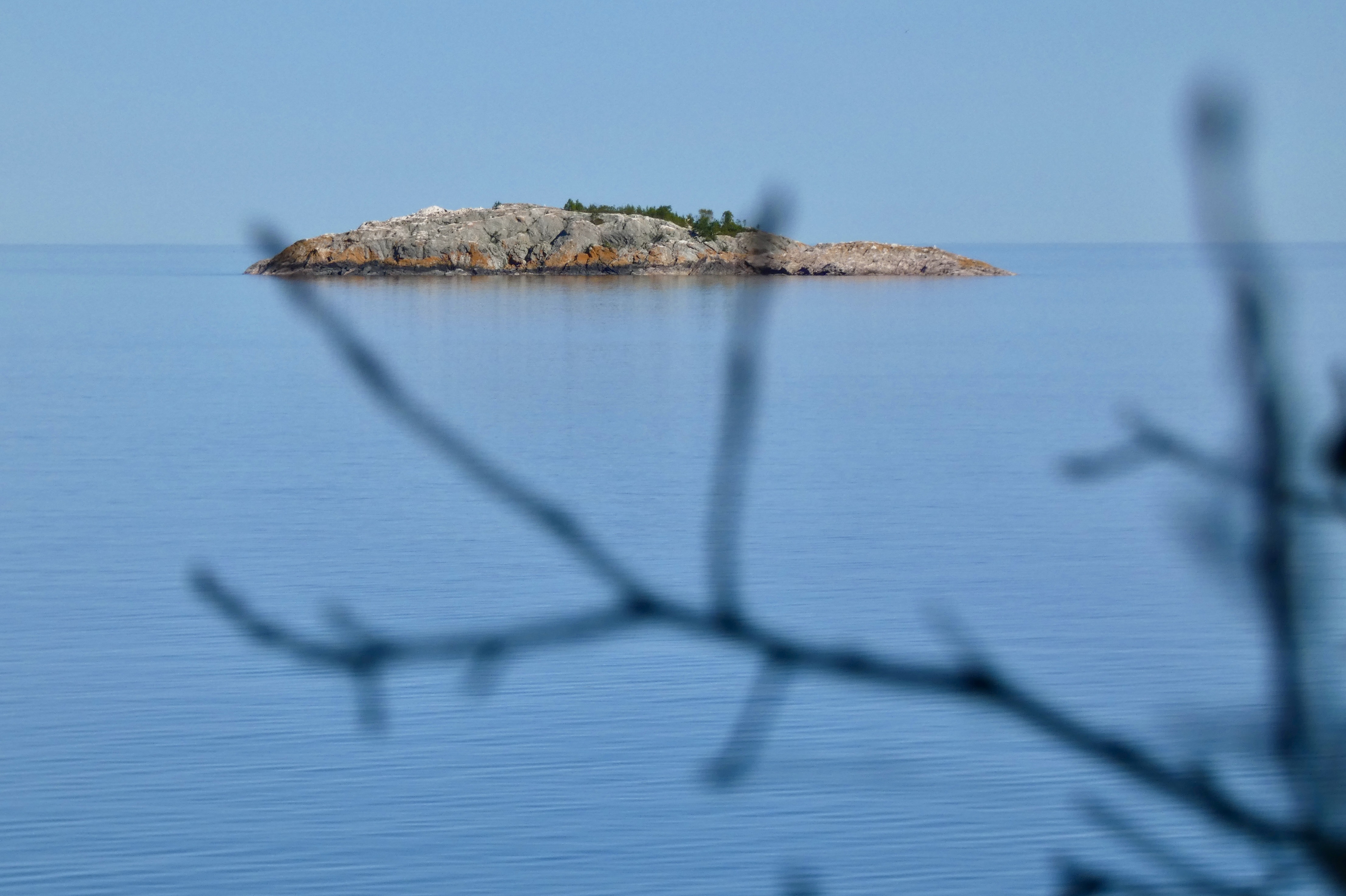
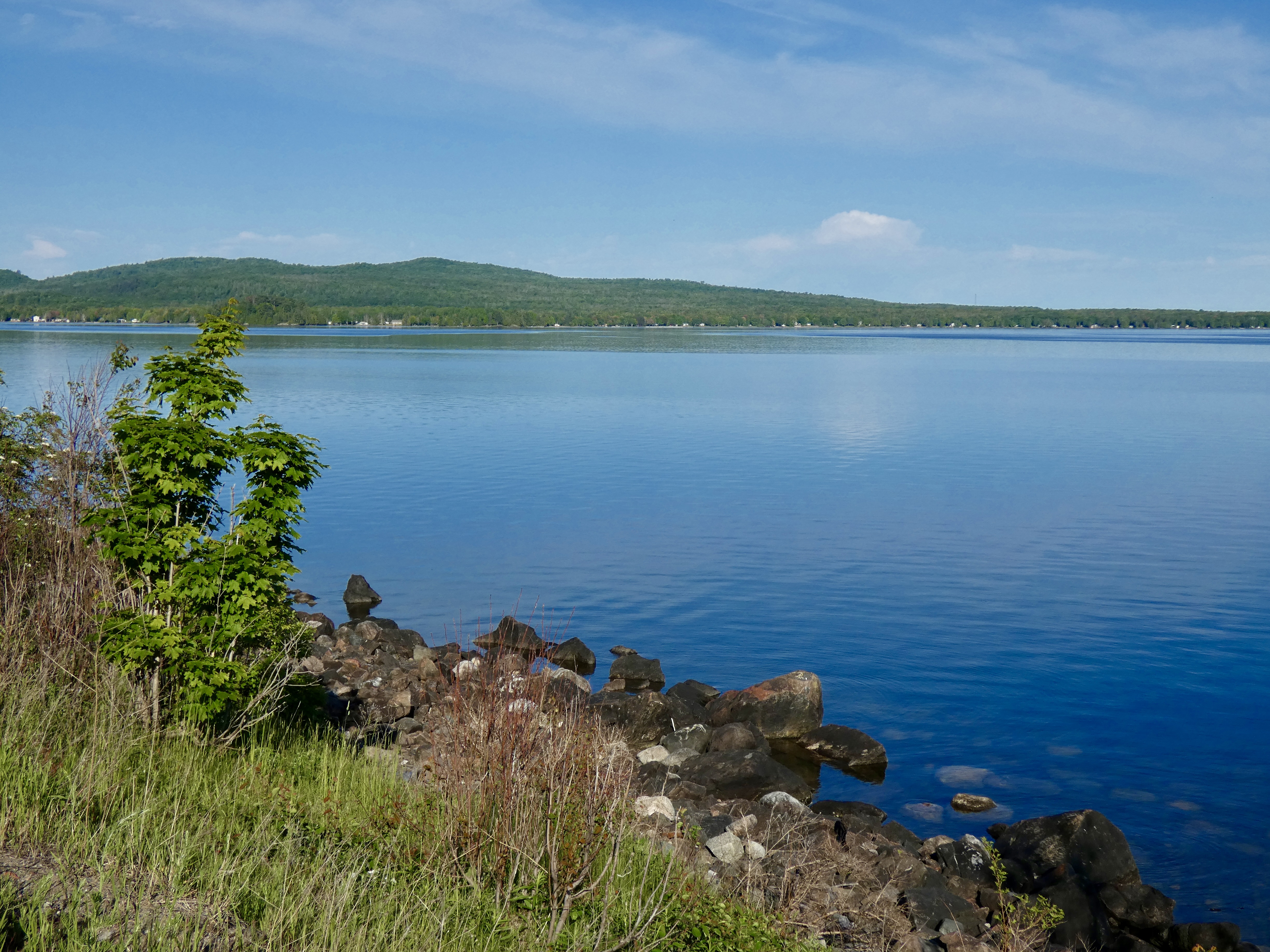
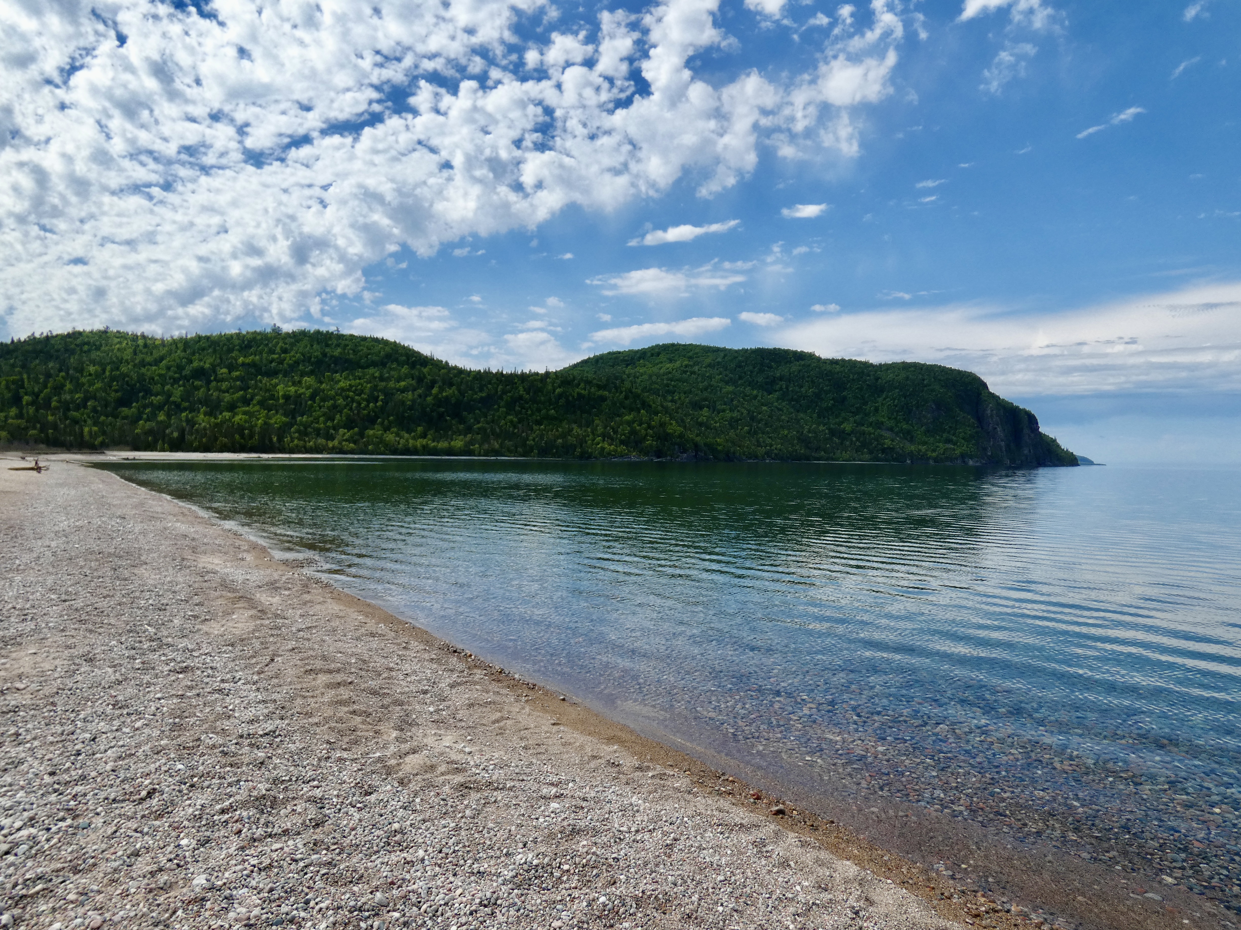
With Beethoven’s Fifth Symphony providing musical motivation through my bluetooth, we motored out of Sault Ste Marie about 7:45 and soon found a large lake to our left. Today, however, it wasn’t Lake Huron, but Lake Superior, the largest of the five Great Lakes, the largest lake by surface area among fresh water lakes in the world and the third largest by volume. Lake Superior holds 10% of the world’s fresh water and is fed by more than 200 rivers. Clearly, a superior lake. And beautiful.
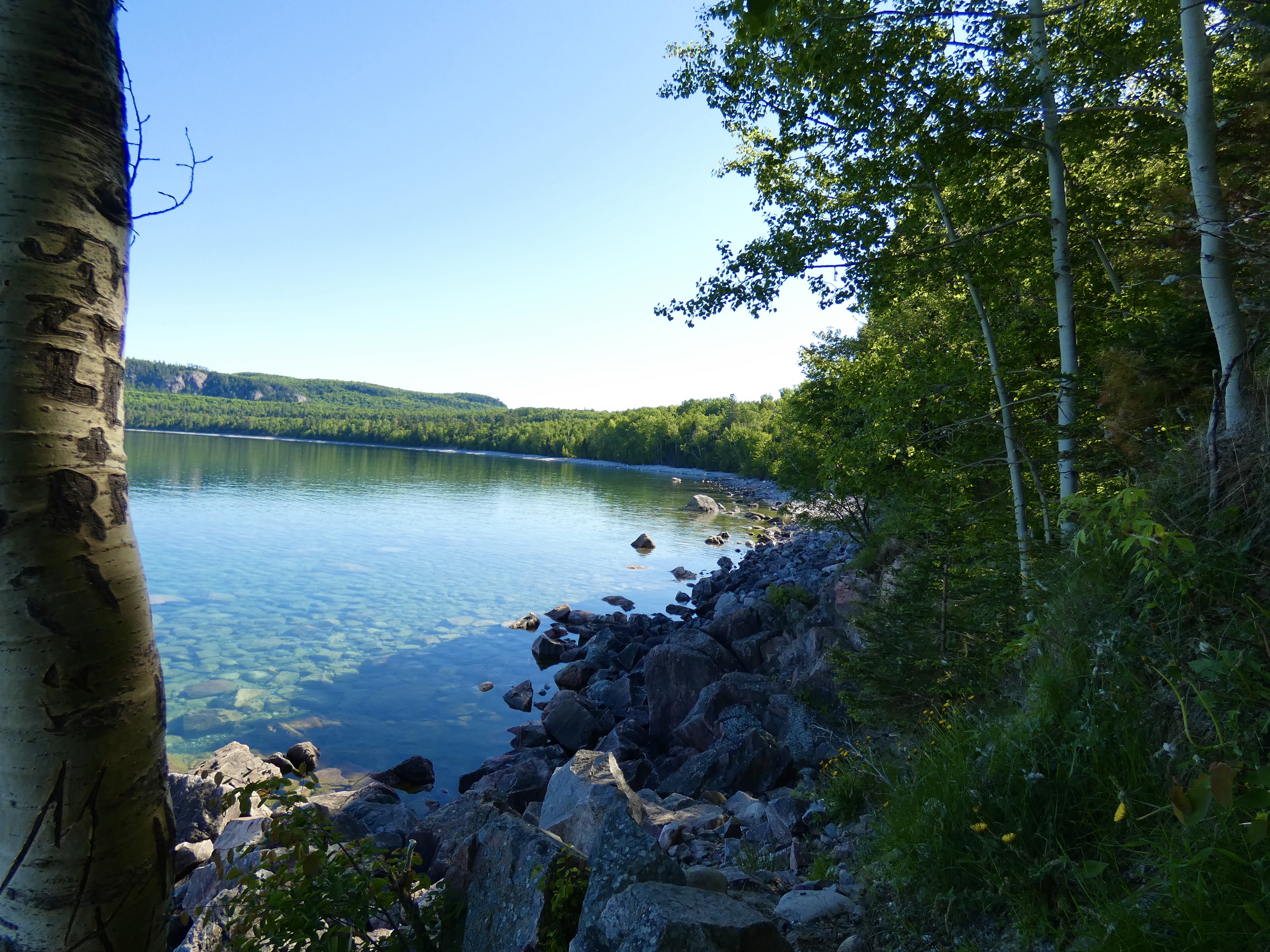
All morning we skirted the northern shores of this massive lake, though in the afternoon the Trans Canada Highway route to Schrieber, Ontario, where we are tonight, went inland 20 or 30 miles and the big lake disappeared from view. Still, even in the afternoon, we had water in sight much of the time because of the thousands of smaller lakes that dominate much of Ontario’s landscape. Tomorrow morning, shortly after we get on the road, we’ll regain the shore of Lake Superior for more than 100 miles until we reach Thunder Bay and turn northwestward. Two fellow Harley riders we met on the road today said tomorrow’s section is even more impressive than what we rode today; I hope the rain holds off or is sporadic enough to allow a chance to enjoy some of the view they foretold.

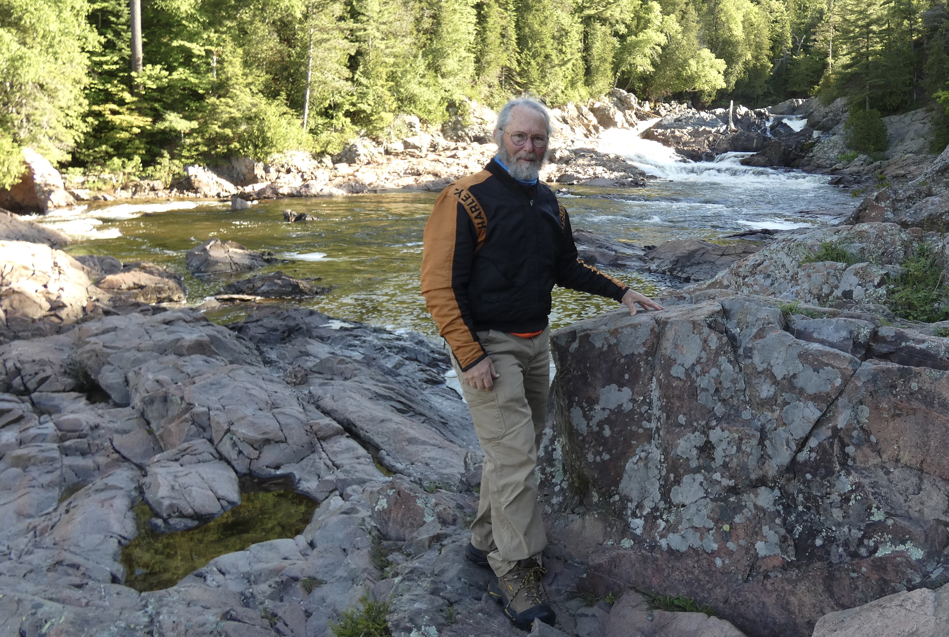
An hour into today’s ride we stopped briefly at Chippewa Falls near where the Chippewa River feeds into Batchewana Bay. Because the water flow was low, we hiked up a short trail and onto some of the rocks over which the river tumbles when the flow is higher. As falls go, the height of Chippewa Falls isn’t significant, only about a 20-25 yard drop. But seeing the falls was a nice 15 minute break. As a bonus, a plaque on a monument at the parking lot next to the highway informed us that we were at the halfway point of the 4,860-mile Trans Canada Highway (TCH), which stretches from St. John’s, NL, to Victoria, BC. We haven’t been on the TCH all the time since we left St. Johns because we left it in PEI and parts of New Brunswick, but we have ridden much of the 2,430 TCH miles to get to here. We’ll continue to cruise the TCH until we reach Winnipeg but will then leave it for a week until we pick it up again in Kamloops, BC. The route I created for this trip will be longer than the TCH by about 1,000 miles because of a northern excursion to Flin Flon, Manitoba, and a re-ride of the staggeringly beautiful Ice Fields Parkway in Alberta’s Rocky Mountains.

The plaque also honored a Toronto physician, inventor, bicyclist, and automobile enthusiast named Perry Doolittle, who is credited with being the spiritual father of the TCH, even though he died a decade before it was authorized in 1949 and two decades before it was completed in 1962. In 1925, the 64-year-old Doolittle became the first person to drive a car across Canada, taking 39 days to go from Halifax, NS, to Vancouver in his Ford Model T, including about 800 miles when he had to replace his tires with flanged wheels so he could use railway tracks where no roads existed.
Most readers know that every evening as I write this blog for friends and family, the keyboard is lubricated with a little help from my friend Jack Daniel’s. The lubrication doesn’t interfere with my fingers, but sometimes it probably blurs my efforts at composition and my attention to grammatical detail. At any rate, as they say, when in Canada, do as the Canadians do. So with a nod to my friend Mark and my nephew Shane, I’m going to substitute–temporarily–my Tennessee-based writing companion with a Canadian one, even though it’s a little too smooth for my taste.
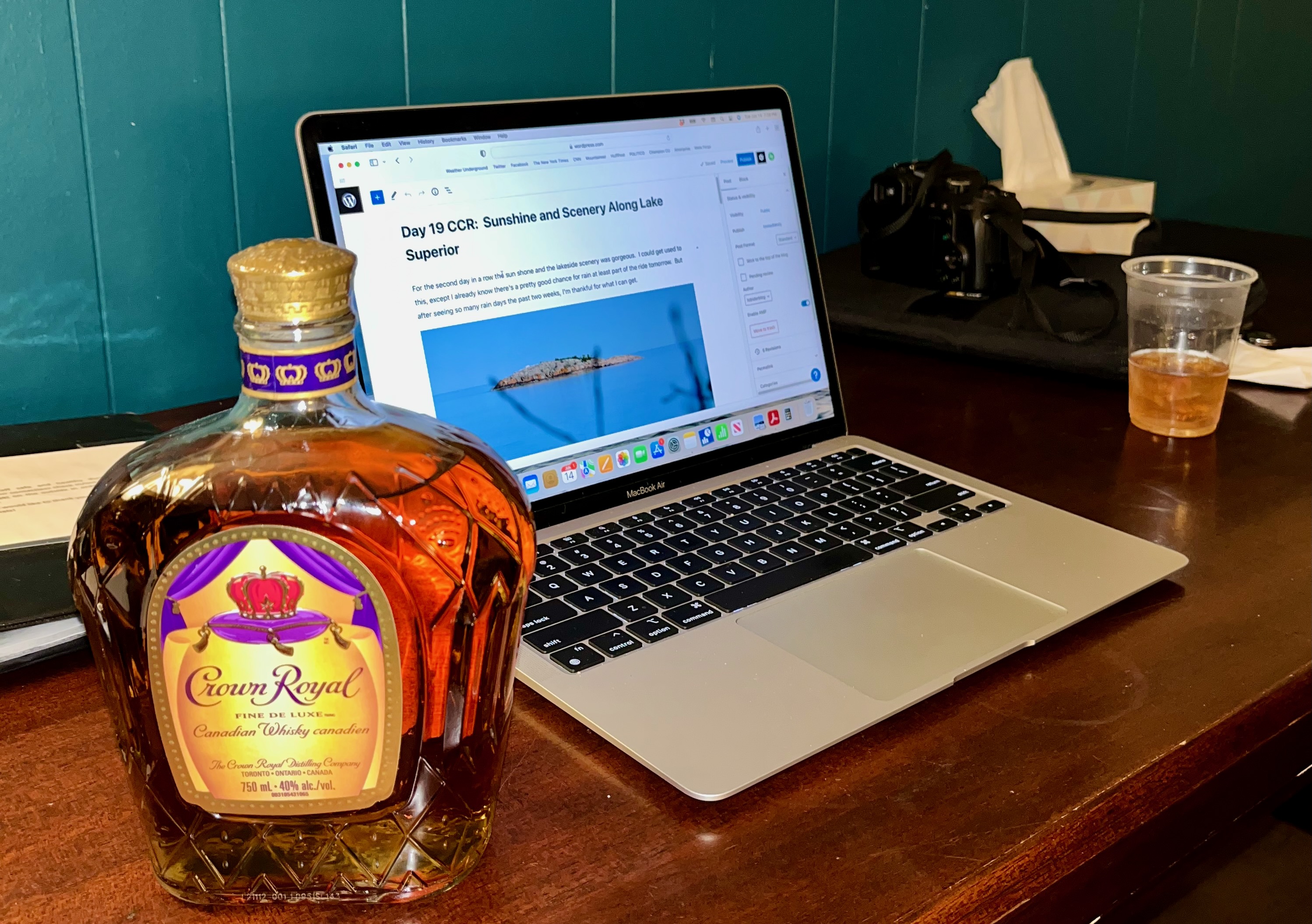
I raise my plastic glass and say “Cheers” to all who are joining me on the CCR. Tomorrow’s another day and I can’t wait to get on the road again.

It’s surprising that the falls weren’t falling very briskly, given all the rain you have encountered. Canadian Club used to be Kevin’s drink of choice. Maybe that’ll suit your taste. It’s worth a try! 🙂 Stay safe!
Great pics. Cheers!!
Ride Safe.
Cheers and back to you my friend! Sorry I couldn’t join you and Steve this trip! I look forward to your future adventures! Ride safe!